
Hill of Standing Stones from Dumbarton
Date: 12th June 2021
Leader: Gerry Marshall
Grade: C+
Number on walk: 11 including one non-member
Click here for GPX track of the walk
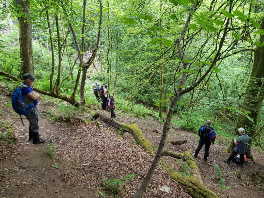
Following the undulating path alongside Gruggies Burn
Possibly named after Bishop William Scroggie but more probably named after the Grugie family who, in the 17th century, lived near the point where the turnpike road (on the line of what is now Dumbarton Road) crossed the burn by means of a bridge that was shown as "Grugiesbrigg" on Roy's Military Survey
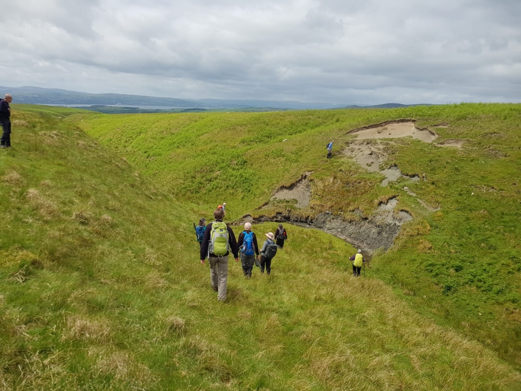
Crossing Auchenreoch Glen
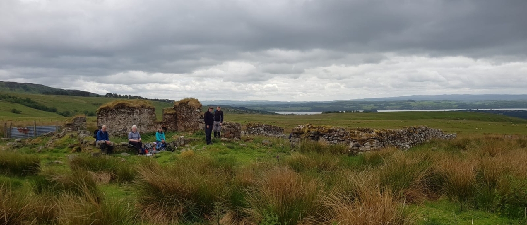
Lunch at the ruined farmstead of Auchenreoch
This ruined farmstead is shown on the first-edition OS map (c.1860). At one time, it may have been part of a more extensive ferm toun. The OS Object Name Books describe it as "a shepherd's house in Auchenreoch Muir".
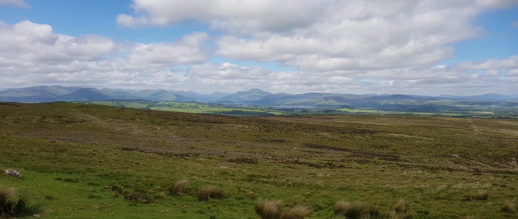
View of Ben Lomond from Hill of Standing Stones
There is no record that standing stones, in the usual archaeological sense, ever stood here. Documentary evidence suggests instead that the name "Standing Stones" referred to march stones (boundary markers) and that they were known as the Stannand Stanes ("the Standing Stones") They are probably now among those that make up the summit cairn. An old drove road passed over the hill and one of its cattle stance markers is also now incorporated in the summit cairn.

Trig point on Pappert Hill
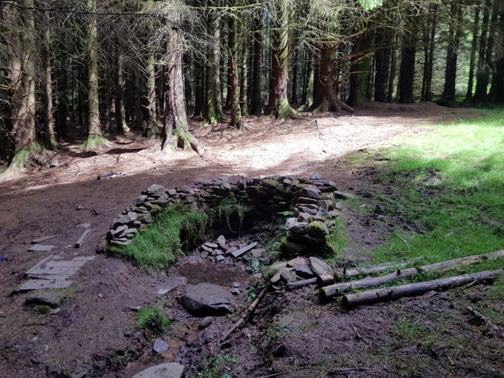
Paperthill Well
A spring located near the summit of the Pappert hill. At some time before 1930, a sign was set up beside the spring with the words "Use me but abuse me not, or hell fire will be your lot". There also used to be an iron drinking ladle chained nearby.