
Milngavie Reservoirs via Drumclog Moor
Date: 15th January 2023
Leader: Joyce
Grade: C+
Number on walk: 14
Length 12km. Ascent 177m.
Hills climbed: None.
From the Milngavie precinct we followed the West Highland Way and after a short ascent left the WHW to climb, on a track, over Drumclog Moor to Drumclog Moor Car Park. We crossed Mugdock road and walked round Mugdock and Craigmaddie Reservoirs before returning to Milngavie via Drumclog Moor Wood and the path beside Allander Water.
Click here for GPX track of the walk
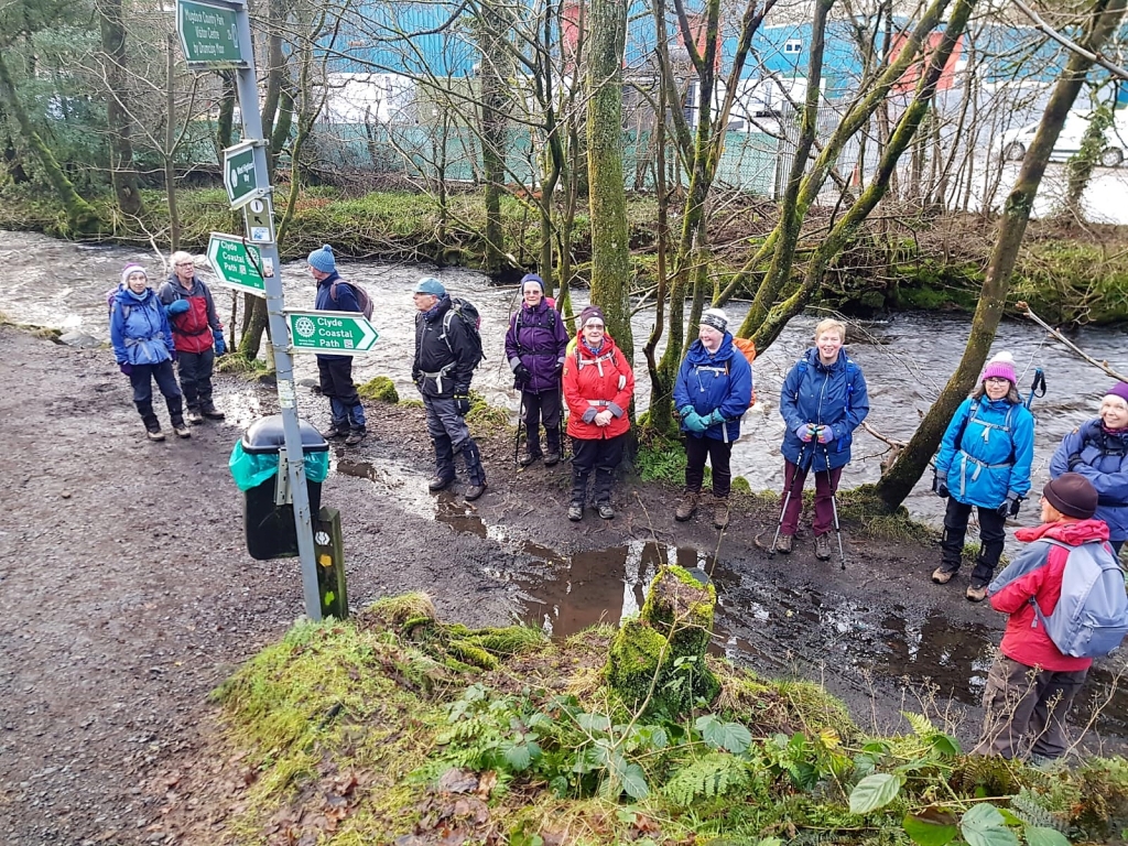
Our group at the junction between the West Highland Way and the Clyde Coastal Path.
The Allander Water was in spate.
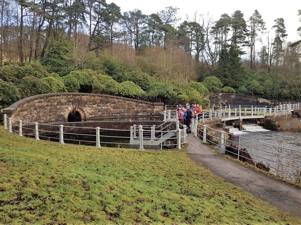
After crossing Drumclog Moor we reached Mugdock reservoir.
This is one of the gauging basins where water from Loch Katrine arrives at Milngavie.
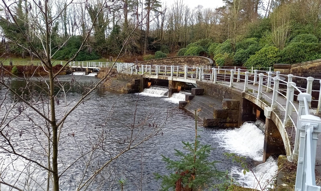
Another view of the gauging basins at the end of the aqueduct from Loch Katrine
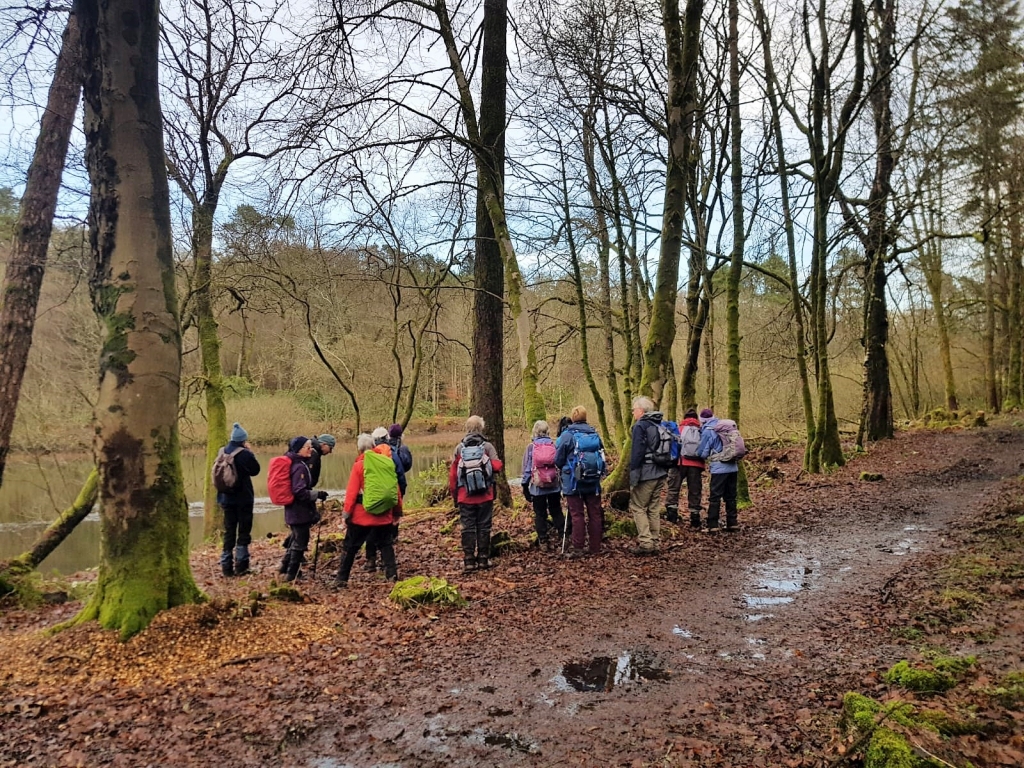
Here we see the group watching a kingfisher
Sadly the kingfisher cannot be seen in the photograph
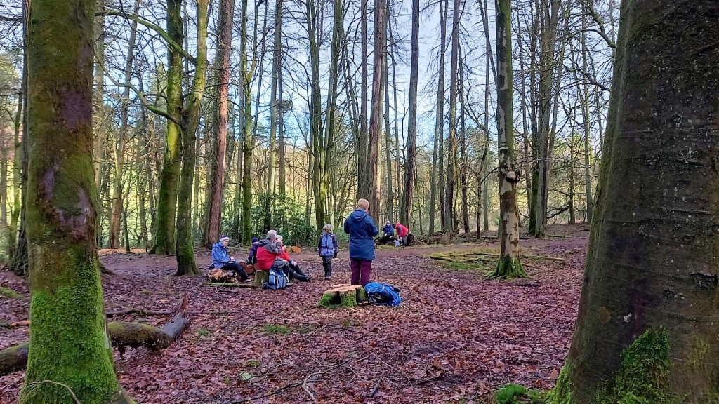
Lunch was taken on the site of an old quarry near Mugdock Reservoir
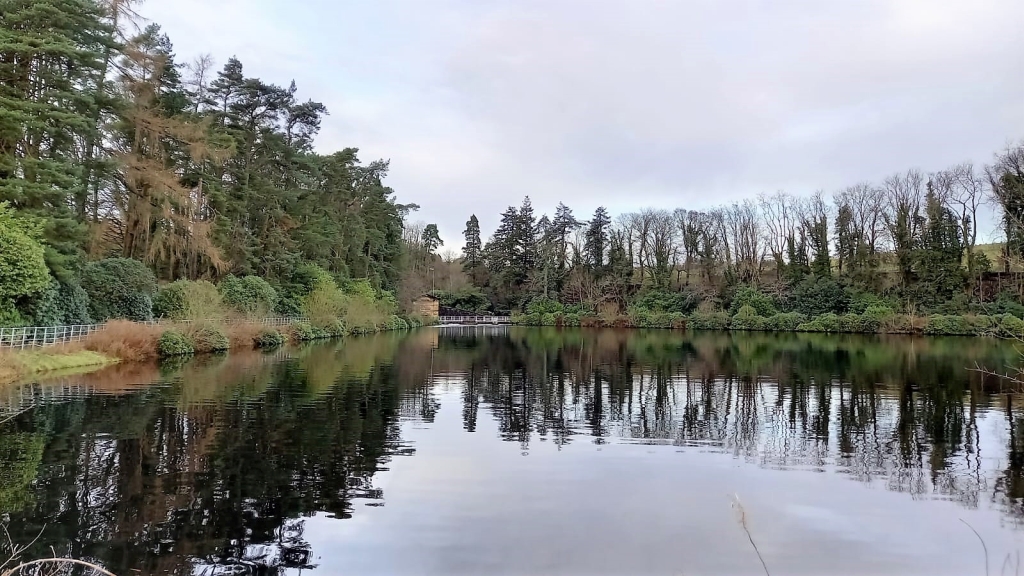
Another view of Mugdock Reservoir looking towards the gauging basins
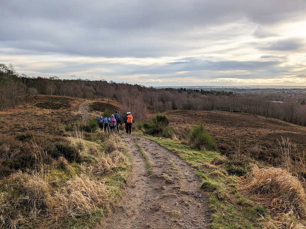
The final stretch – Crossing Drumclog Moor and descending to the Allander Water before returning to Milngavie