
Beinn a’ Mhanaich (Glen Fruin)
Date: 02 February 2025
Leader: Mike
Grade: B
Number on walk: 16
Length 11 km. Ascent 580 m.
Hills climbed: Beinn a’ Mhanaich.
Click here for GPX track of the walk
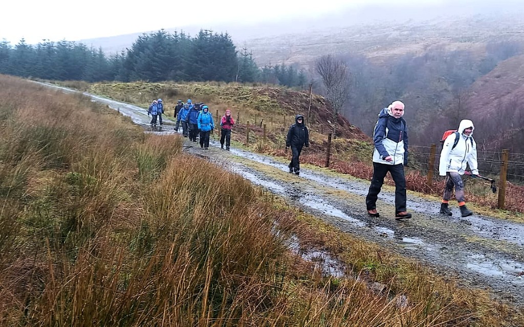
We started our walk along the access road to Auchengaich reservoir – in the rain!
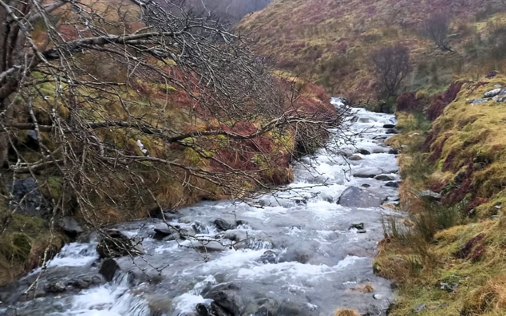
The Allt Innse burn coming off Beinn Tharsuinn was swollen due to the recent rain and melting snow
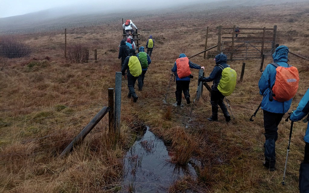
After leaving the access road behind we were walking across very boggy ground towards Bealach an t-Saic
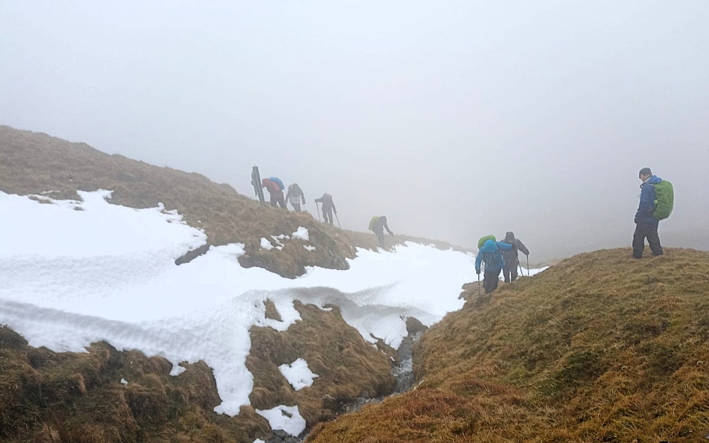
Further up the hill we encountered our first deep snow which had drifted into a gully on the east side of Maol an Fheidh
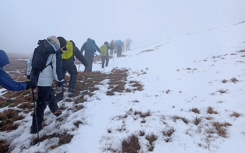
On the final 30 m of ascent we skirted a small snow field before reaching the summit of Beinn a’ Mhanaich
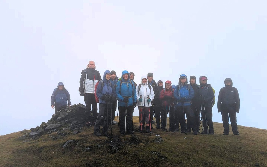
Our summit photograph. It was too cold, wet and windy to stay long
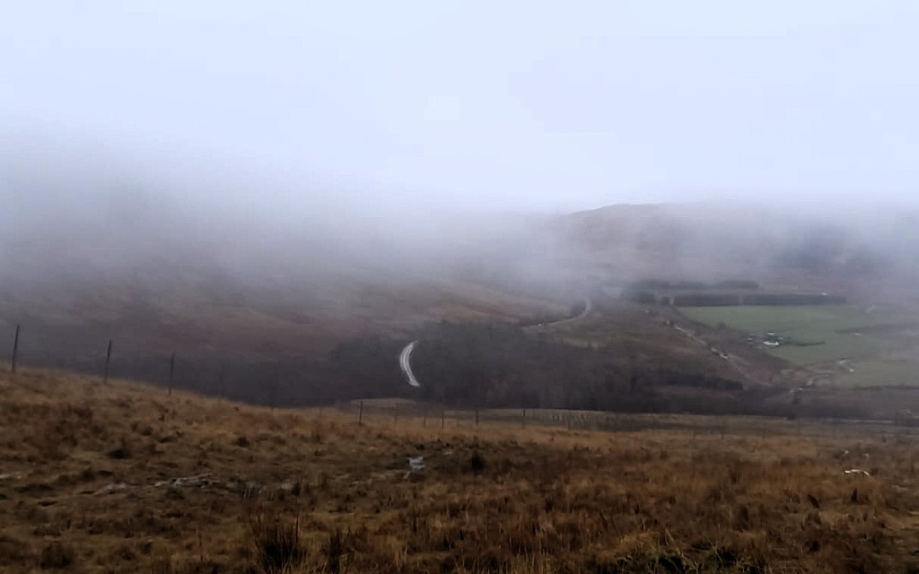
As we descended via The Strone we dropped below the cloud and had a view of Glen Fruin and Auchengaich Farm