
North Third Reservoir and Sauchie Craigs
Date: 14 February 2026
Leader: Pat
Grade: B
Number on walk: 14
Length 16.2 km. Ascent 385 m.
Hills climbed: Lewis Hill
Click here for GPX track of the walk
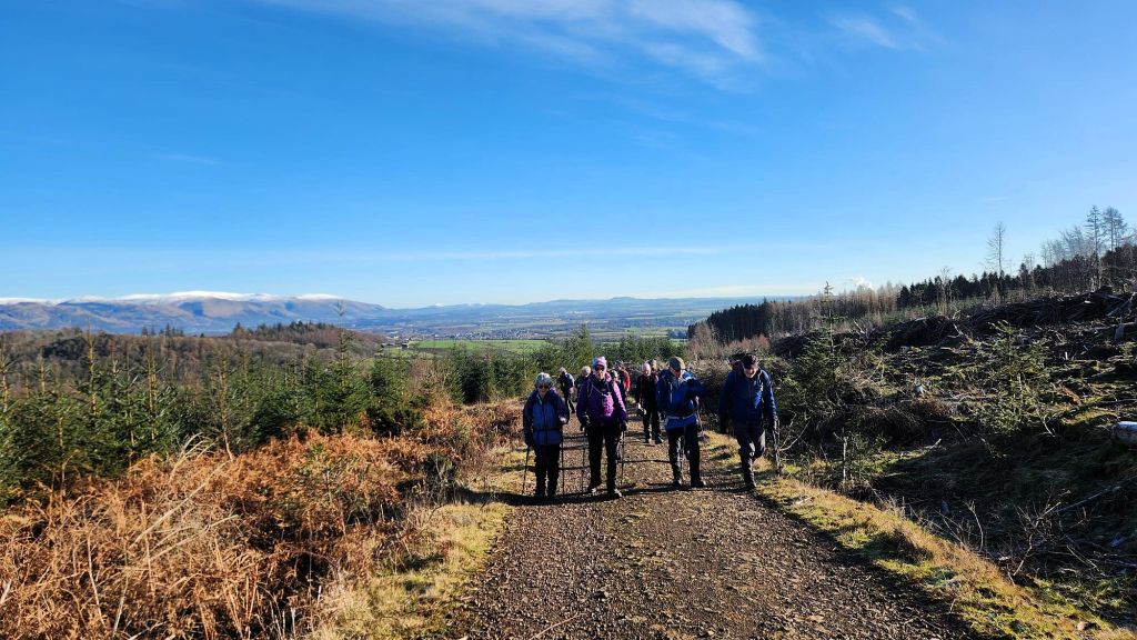
After a short climb through the forest, we reached higher ground, where we could see the Ochils and the floodplain of the River Forth spread out below us
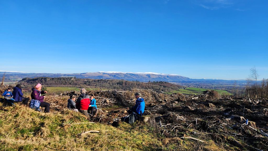
The stumps remaining from forestry operations served as excellent seating during our morning break, allowing us to appreciate the view of the snow-covered Ochils
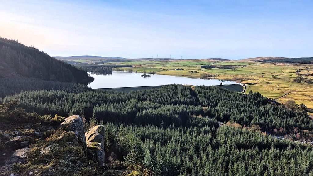
Our first view of North Third Reservoir as we climbed to Sauchie Craig and Lewis Hill
An earth embankment dam constructed in 1911 created the North Third Reservoir as a source of drinking water for Grangemouth.
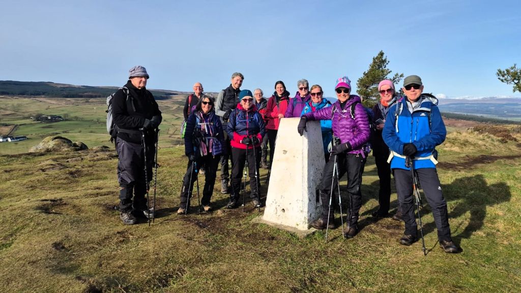
Our group photograph at the triangulation pillar on Lewis Hill
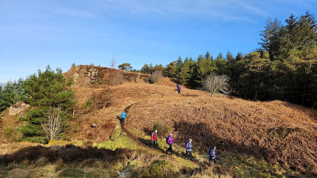
Descending from Lewis Hill through last year’s bracken
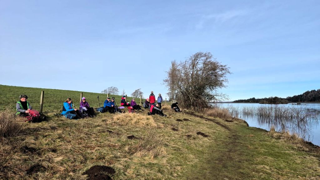
We had lunch on the shore of North Third Reservoir
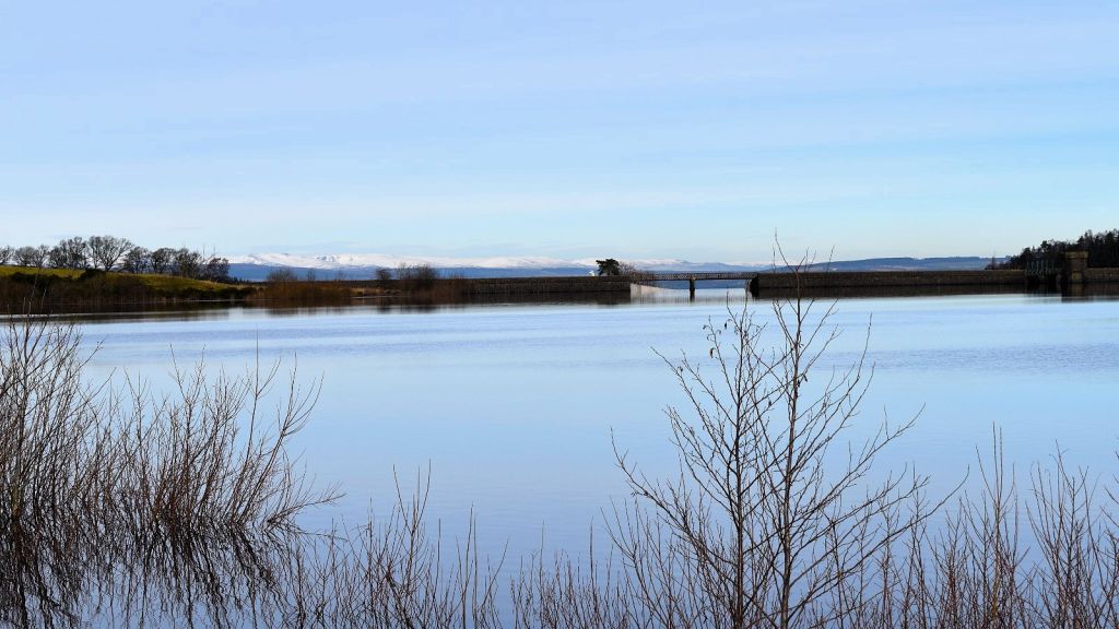
A wintery view across North Third Reservoir towards the dam and overflow slipway
Although the reservoir no longer supplies drinking water it impounds the Bannock Burn and ensuring a constant flow of water to the burn is essential.

A final view of North Third Reservoir dam and overflow slipway before we entered the forest on our way back to Bannockburn
The original overflow slipway showed signs of deterioration, which could have jeopardized the integrity of the dam if left unaddressed. Its replacement/renewal work was finished in 2023-24.